The actual address
Check the lot, planning controls, title, easements and surrounding land uses.
Clyde North's precinct plan sets out residential areas alongside schools, community facilities, employment land and the Cardinia Creek corridor.
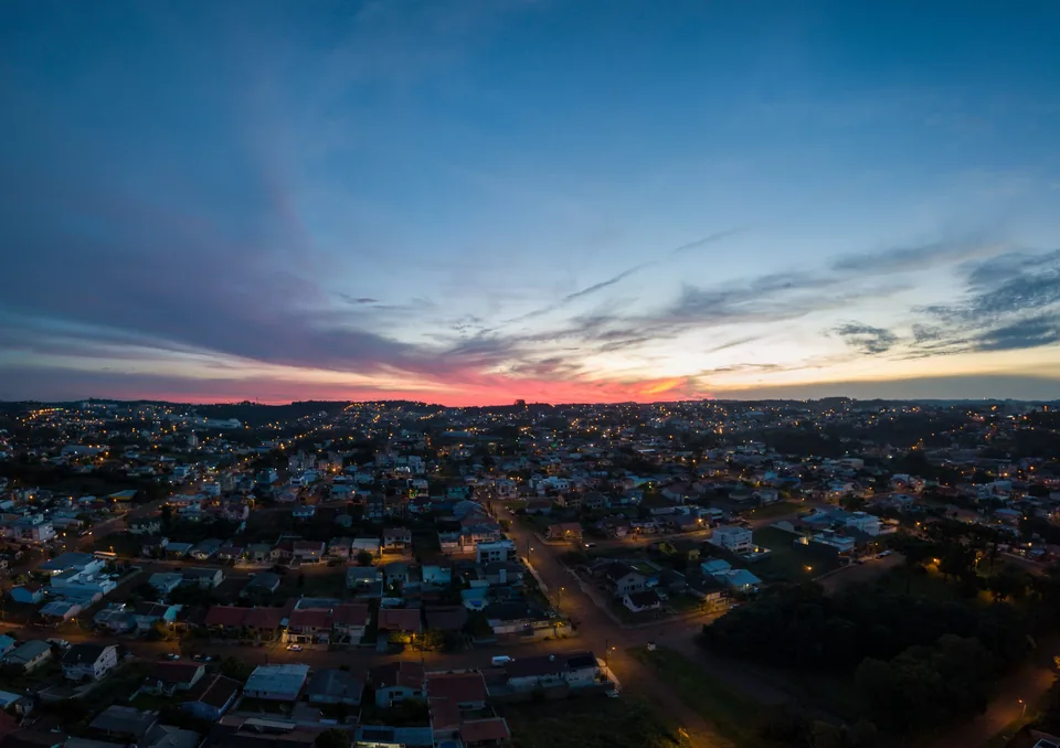
Illustrative brand scene. This image is not a property listing or a verified local photograph.
The City of Casey's Clyde North page places the precinct between Grices Road, Cardinia Creek, Thompsons Road and Pound Road. The council describes it as predominantly residential and says the precinct structure plan identifies areas for homes, jobs, schools and community facilities. This is useful context for checking a site, but it is not a statement that every planned facility is open.
Cardinia Creek forms the eastern edge of the precinct and is identified as a conservation corridor. A buyer considering a particular block should check the title, flood and drainage information, overlays and the location of open space or roads in the approved plan. The surrounding landscape can differ markedly across the suburb.
Transport claims need care. A past state project said the Cranbourne line upgrade made a future Clyde rail extension possible; that is not an operating train service in Clyde North or a committed opening date. For a current home, check the actual bus route and distance to an operating station, together with the roads used at likely travel times.
Use the address, current documents and independent advice. A suburb guide cannot assess a particular investment.
Check the lot, planning controls, title, easements and surrounding land uses.
Compare the real journey to operating transport, shops, schools and services.
Request written inclusions, current pricing and a dated rental appraisal.
Ask about current availability, written price and inclusions, and a dated rental appraisal.